Collaboration. Commitment. Confidence. Since 1990.
Tahoe Regional Planning Agency │ West Shore Tahoe Trail Feasibility Study
El Dorado County, Lake Tahoe Basin, California
Project Description
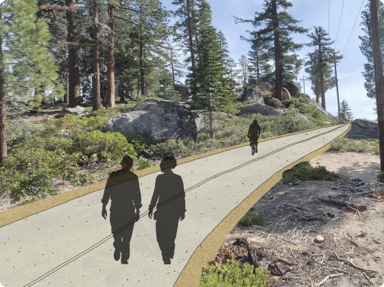
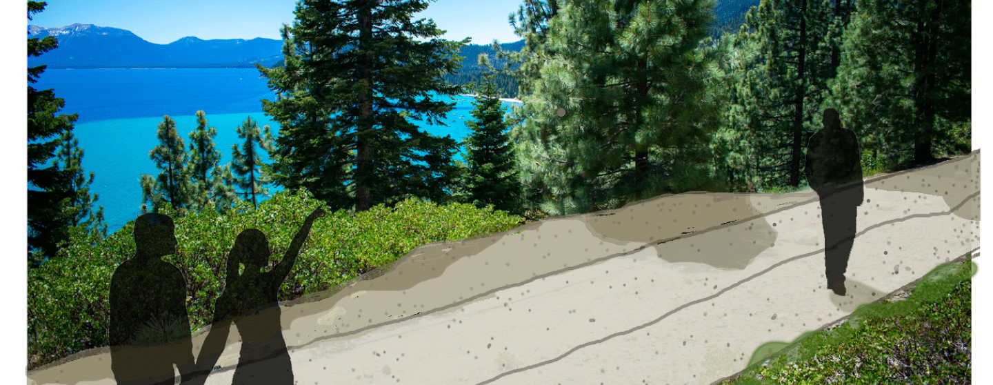
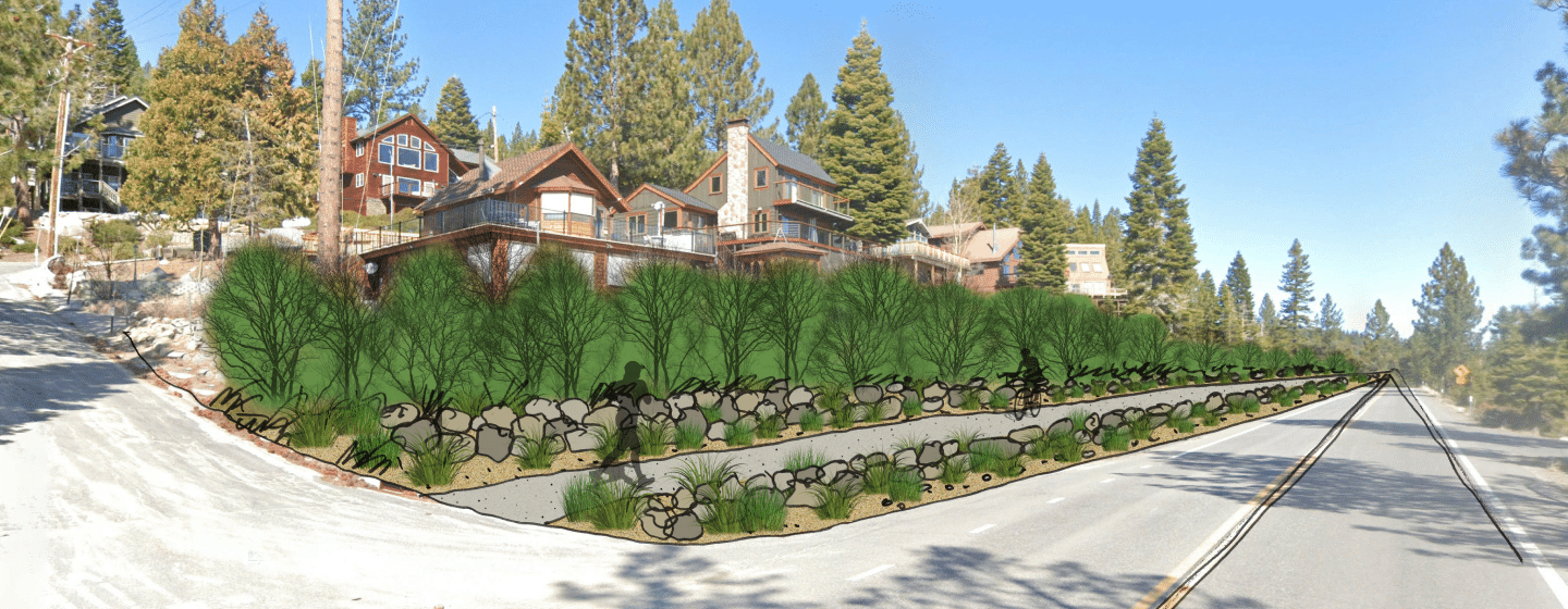
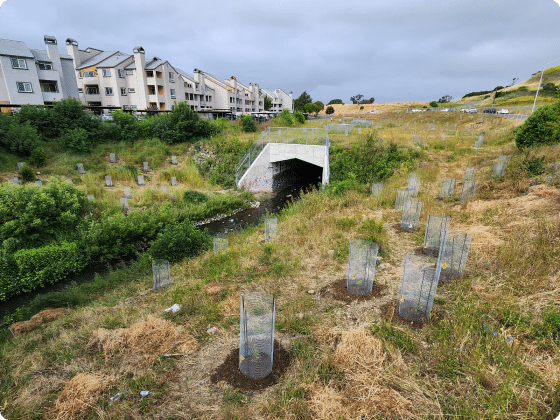
The last segment of the famed Tahoe Trail to be planned was on the southwest shore of Lake Tahoe between Spring Creek and Meeks Bay. NCE led a study to evaluate the feasibility of constructing the 11-mile trail that would traverse alpine meadows, pine forests, and granite escarpments. The Feasibility Study had three distinctive phases, with each requiring extensive coordination among agency partners, the Washoe Tribe of California and Nevada, recreation and environmental stakeholders, and local communities.
Critical work included extensive outreach and engagement, prescreening and ground truthing potential trail alignments, developing evaluation criteria, conducting an alignment analysis, selecting a preferred alignment, developing preliminary layouts, conducting engineering analysis, and vetting environmental and construction considerations. To bring the trail to life, NCE also developed a series of visualizations that highlighted trail amenities, infrastructure, and interpretive opportunities.
NCE leveraged geospatial data, preliminary engineering, and site knowledge to guide the study and make practical recommendations about constructability, cost, environmental impact, and user experience. A robust outreach and engagement effort included community workshops, informational webinars, small group meetings, a dedicated website, stakeholder surveys, mailers, and media communications. All of this effort resulted in a comprehensive study that demonstrated the trail was feasible and broadly supported by partners. This has allowed project proponents to pursue funding to design and construct the trail.